Guardian of the Galaxy
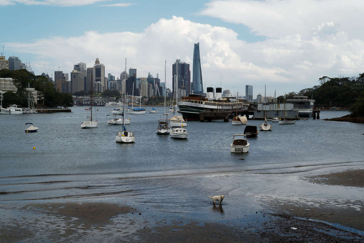
This dog is exploring the shores of Berrys Bay, and looks like the lord and commander of all that she surveys.
This dog is exploring the shores of Berrys Bay, and looks like the lord and commander of all that she surveys.
We started on Wilksch’s Walk, named in honour of local resident Eric Wilksch for his efforts in lobbying Council to retain bushland in Flat Rock Gully. This takes us to Tunk’s Park and Cammeray Bridge.
This is a tour through various Civic Heritage Commemorative Plaques that have been installed in order to commemorate the heritage of Willoughby.
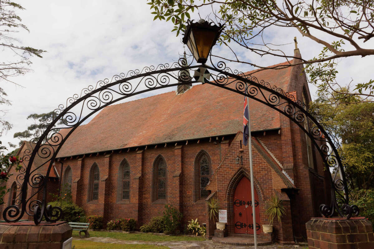
Roseville has 4 churches that I know about – St Andrews, St. Barnabas, the Uniting Church and Luke’s Presbyterian.
Ferndale Park is a long and narrow 9.8 hectare remnant bushland reserve that is surrounded by residential properties, located within the Lane Cove River catchment, Chatswood.
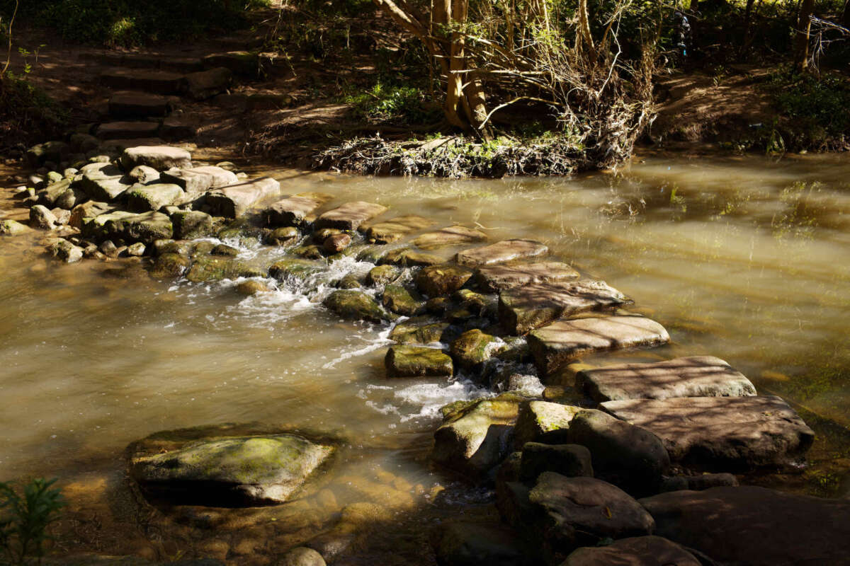
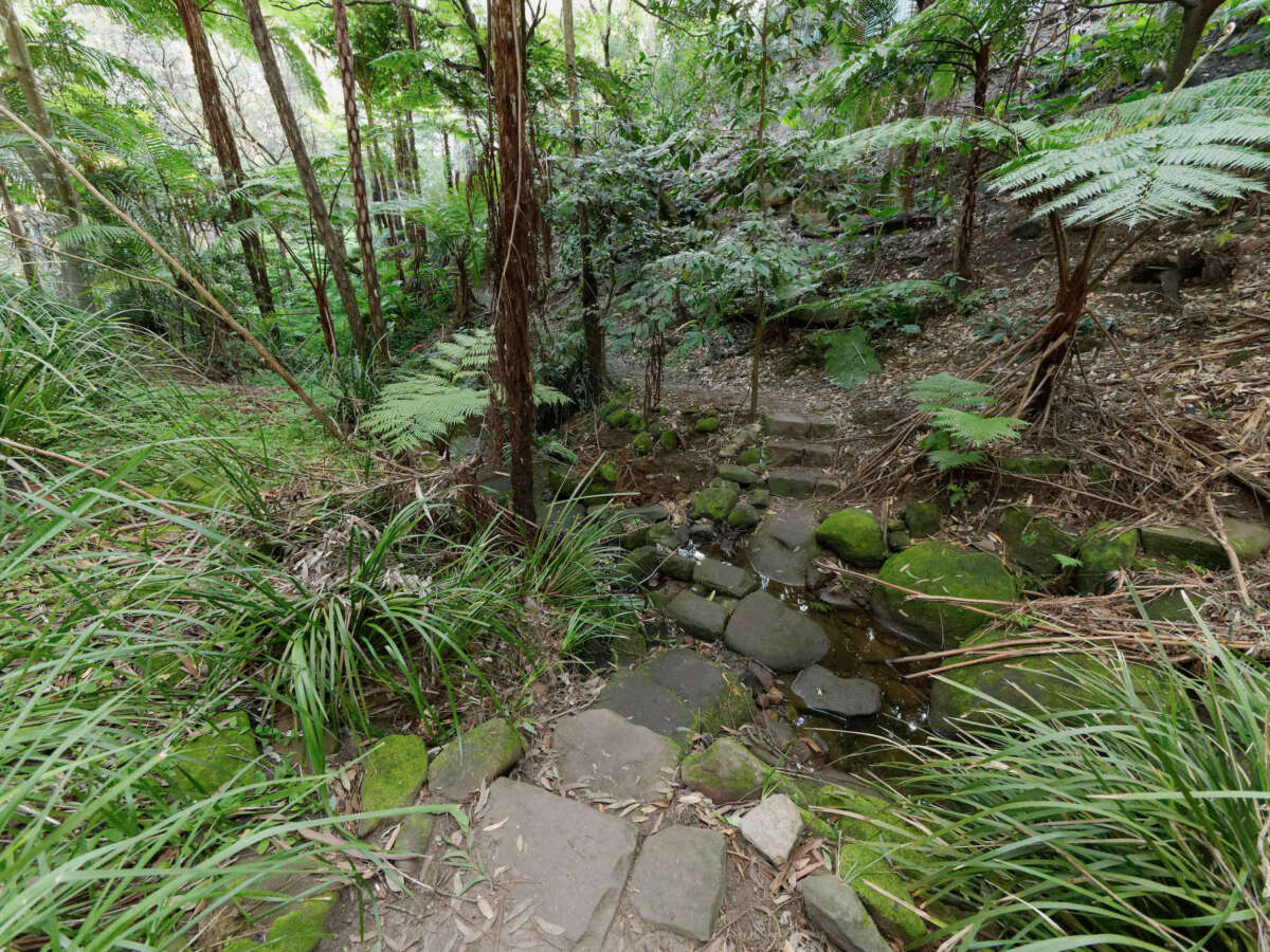
Beauchamp Park is our local park, situated in the upper park of the Scotts Creek sub-catchment.
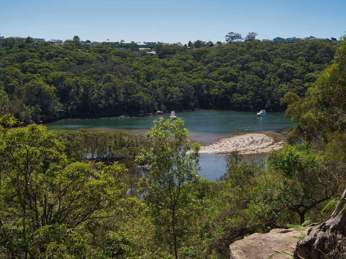
The Harold Reid reserve consists of a sandstone hill called The Sugarloaf located on a headland, sandwiched between Crag Cove and Castle Cove and facing into Sugarloaf Bay and then onto Middle Harbour.
This is a quick walk down the street to the industrial area close to Roseville Chase.
This is the closest walking track to our house, a mere block away in Chatswood West.
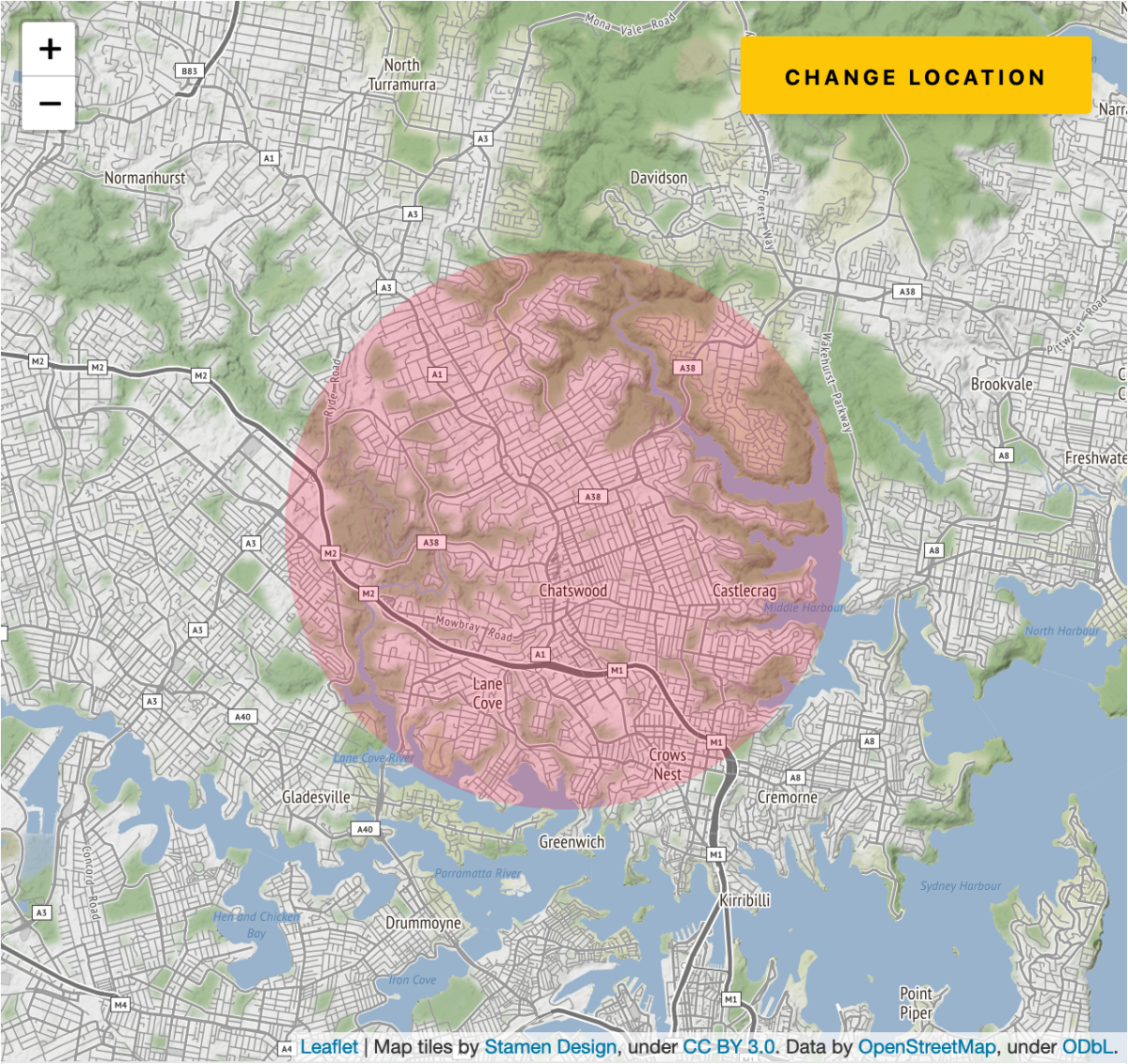
This is a series of articles on images captured within a 5 km radius from our house in Sydney, Australia.
On 2 August 2020, a state of disaster was declared in Victoria due to the significant rise in COVID19 cases, and stage 4 restrictions were imposed on metropolitan Melbourne. As part of these restrictions, during the day, Melbourne residents are allowed to shop and exercise, but only within five kilometres of their home. The 5km restriction was subsequently expanded to 25km on 19 October so for over 11 weeks Melburnians did not get to venture very far away from home.
A 5km radius may not seem like much, but it’s actually around 78.54 square kilometres, or 7854 hectares, which seems a lot to me. In Imperial measurements, it’s nearly 20,000 acres. That’s big compared to the 100 acre wood in the Winnie the Pooh stories.
Whilst it may be a stretch to say a 5km bubble may well take a lifetime to explore, it’s significant. Our 5km radius covers parts of Middle Harbour, Lane Cove River, at least two national parks, several industrial areas, golf courses, plus commercial and retail centres. And plenty of walking tracks.
In this series, we will explore places within our 5km bubble, starting with the suburb we live in (Roseville). Please keep revisiting this page as we add more locations over time.
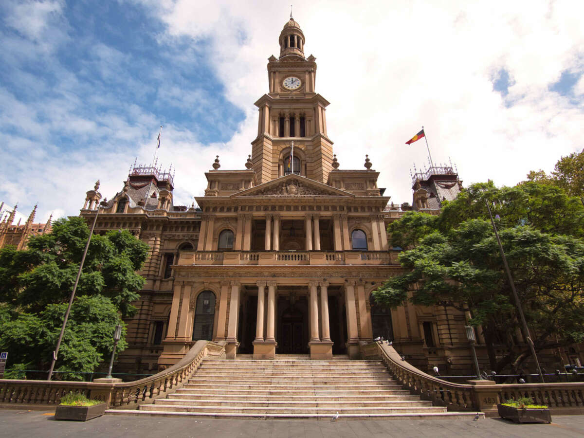
The steps in front of Sydney Town Hall is normally packed full of people as it is a popular meeting spot and rendezvous point.
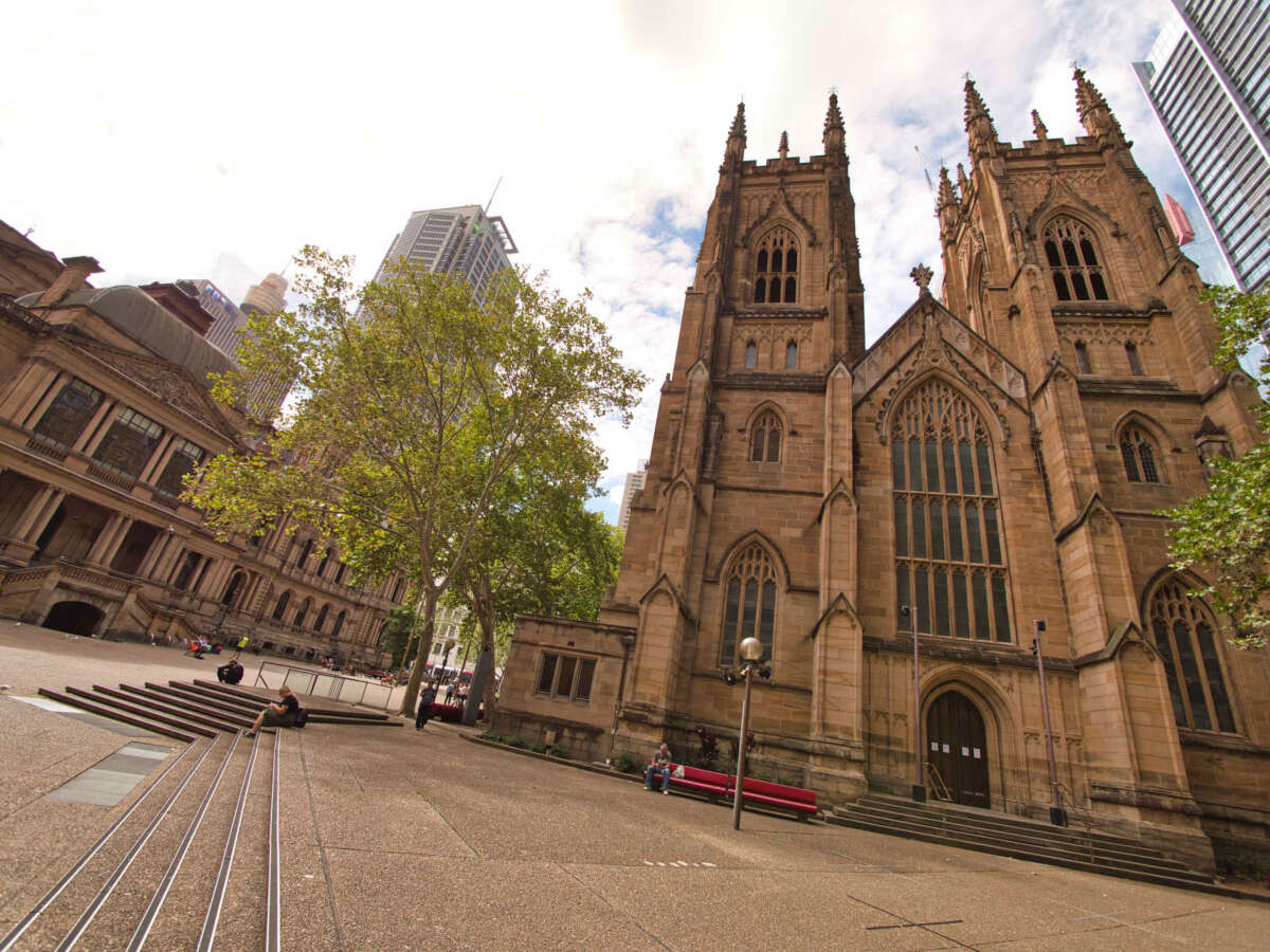
St Andrew’s Cathedral and Town Hall Square is normally packed full of people on a Friday lunch, but it feels like a ghost town
This is a photographic series featuring how the city of Sydney has been impacted by the CoViD-19 (novel coronavirus) outbreak.
These pictures were taken at Westfield Sydney (formerly Centrepoint Shopping Centre).
These pictures were taken at Westfield Sydney (formerly Centrepoint Shopping Centre).
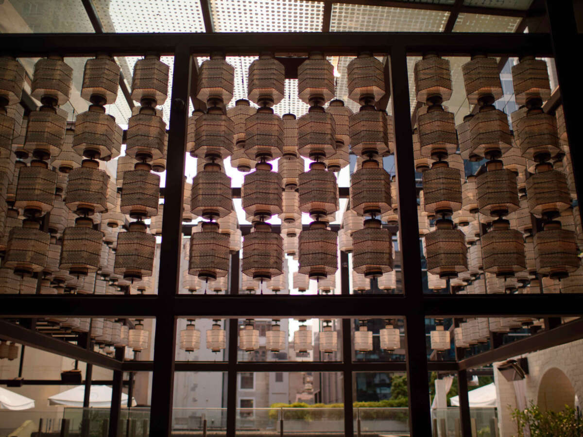
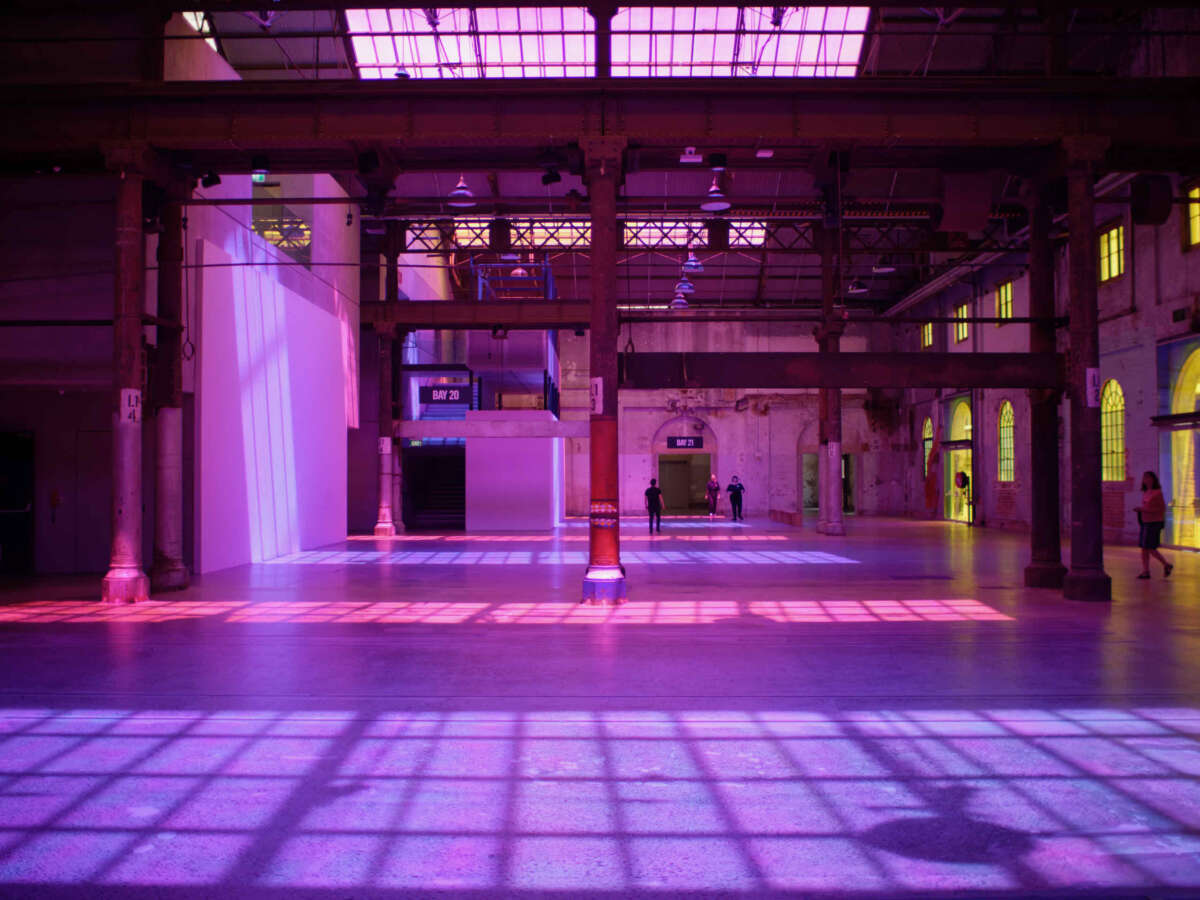
These pictures were taken at Carriageworks during Sydney Festival 2020 and features the Radiant Flux installation by Rebecca Baumann.
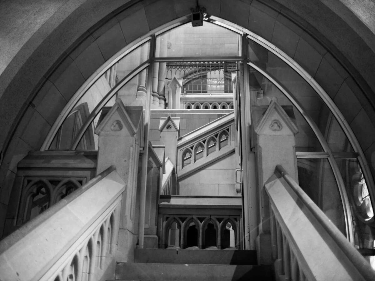
These pictures were taken at St. Mary’s Cathedral and gives an overview of how the lens performs in low light.