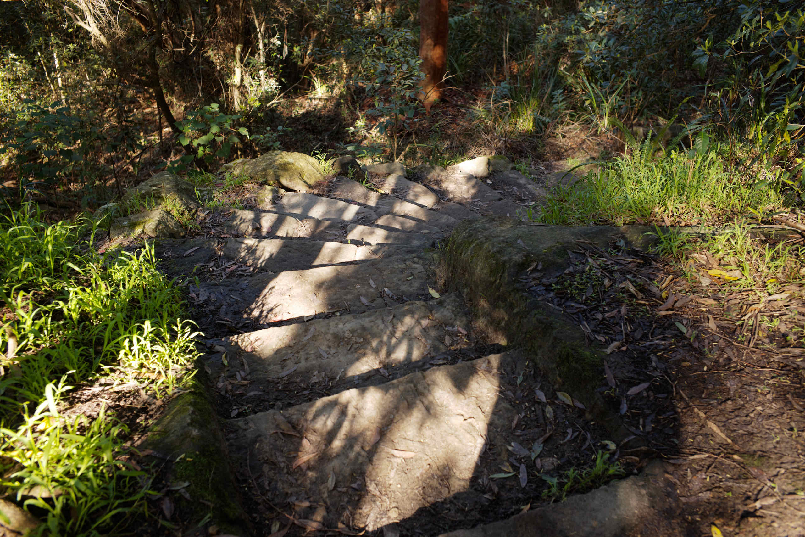
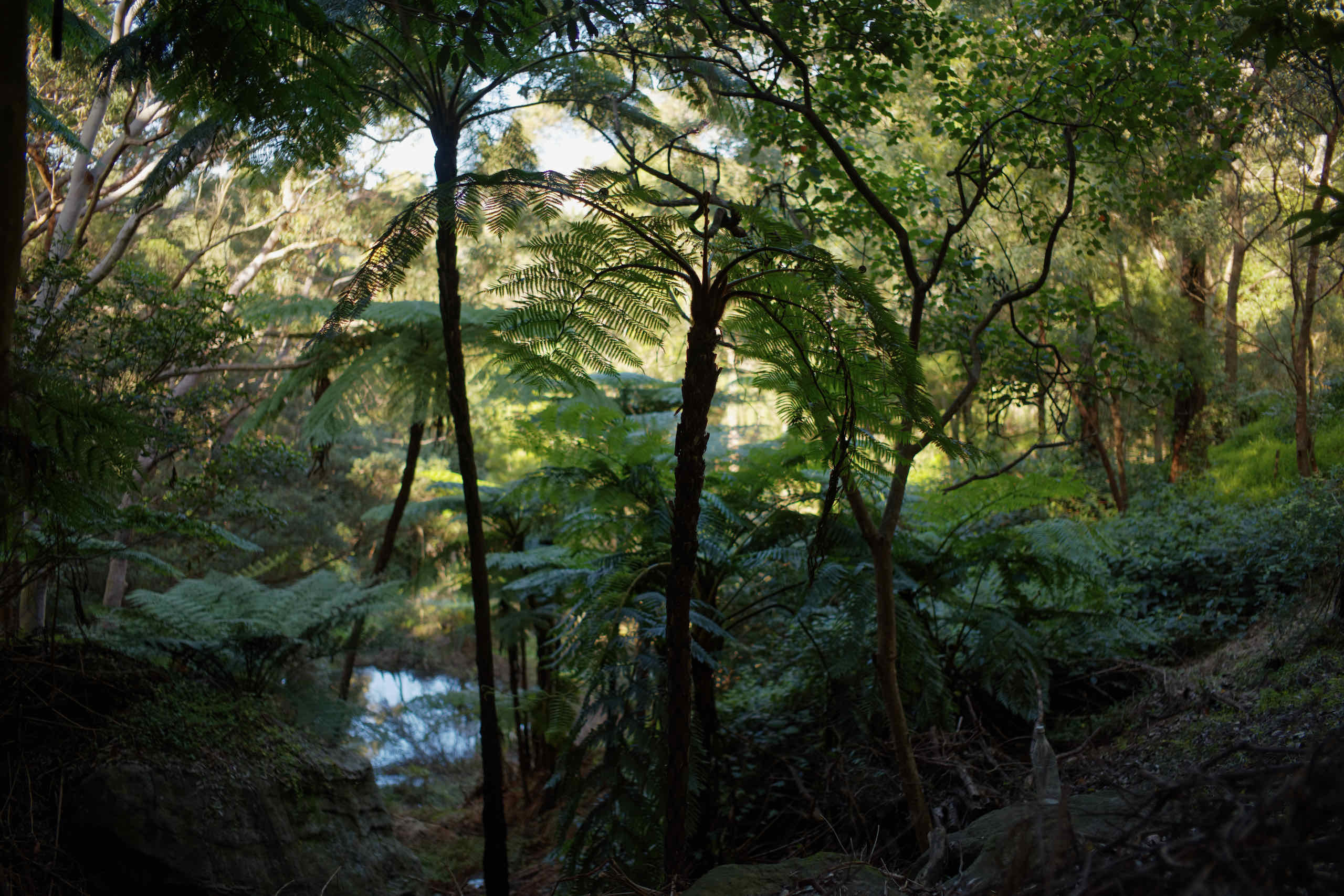
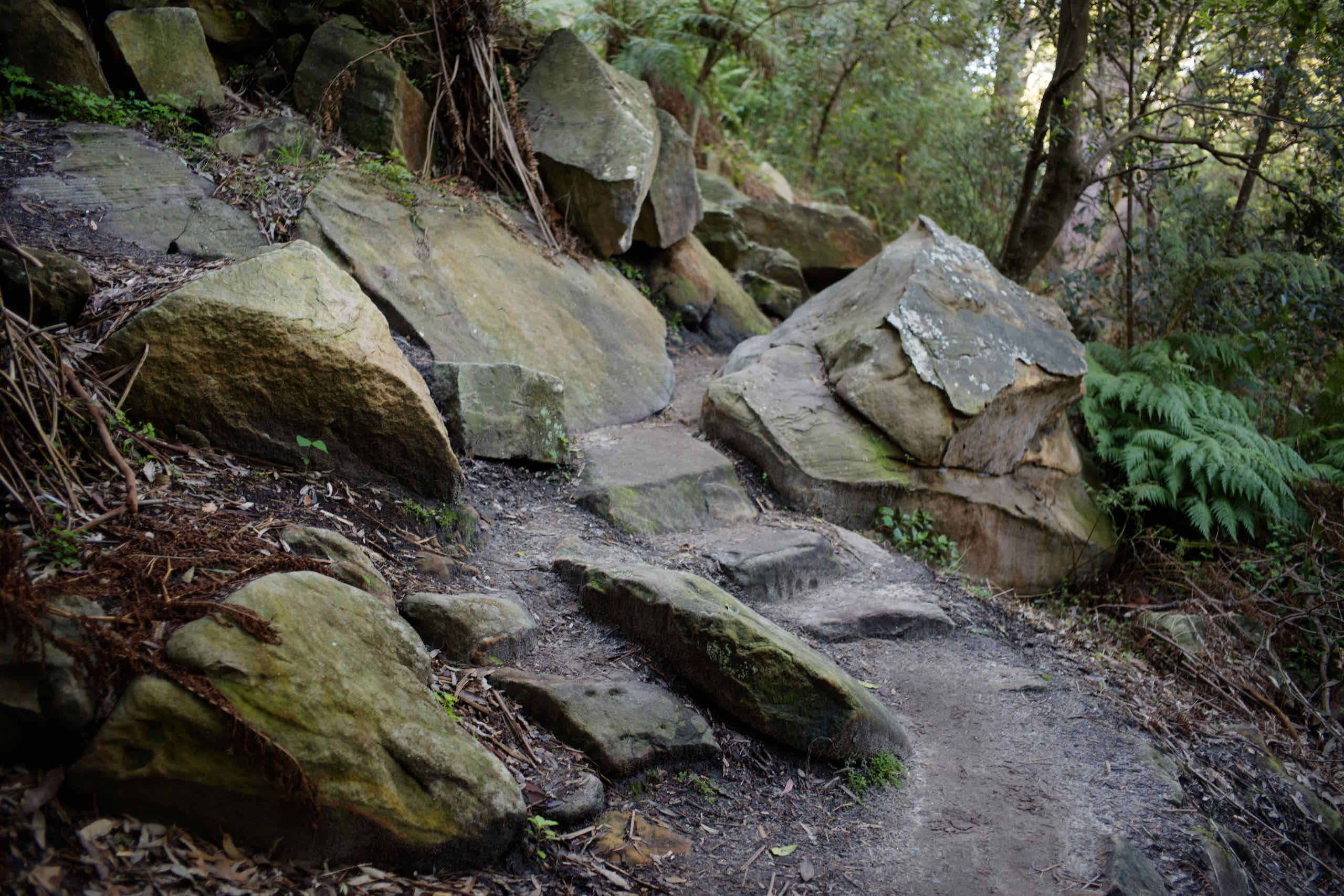
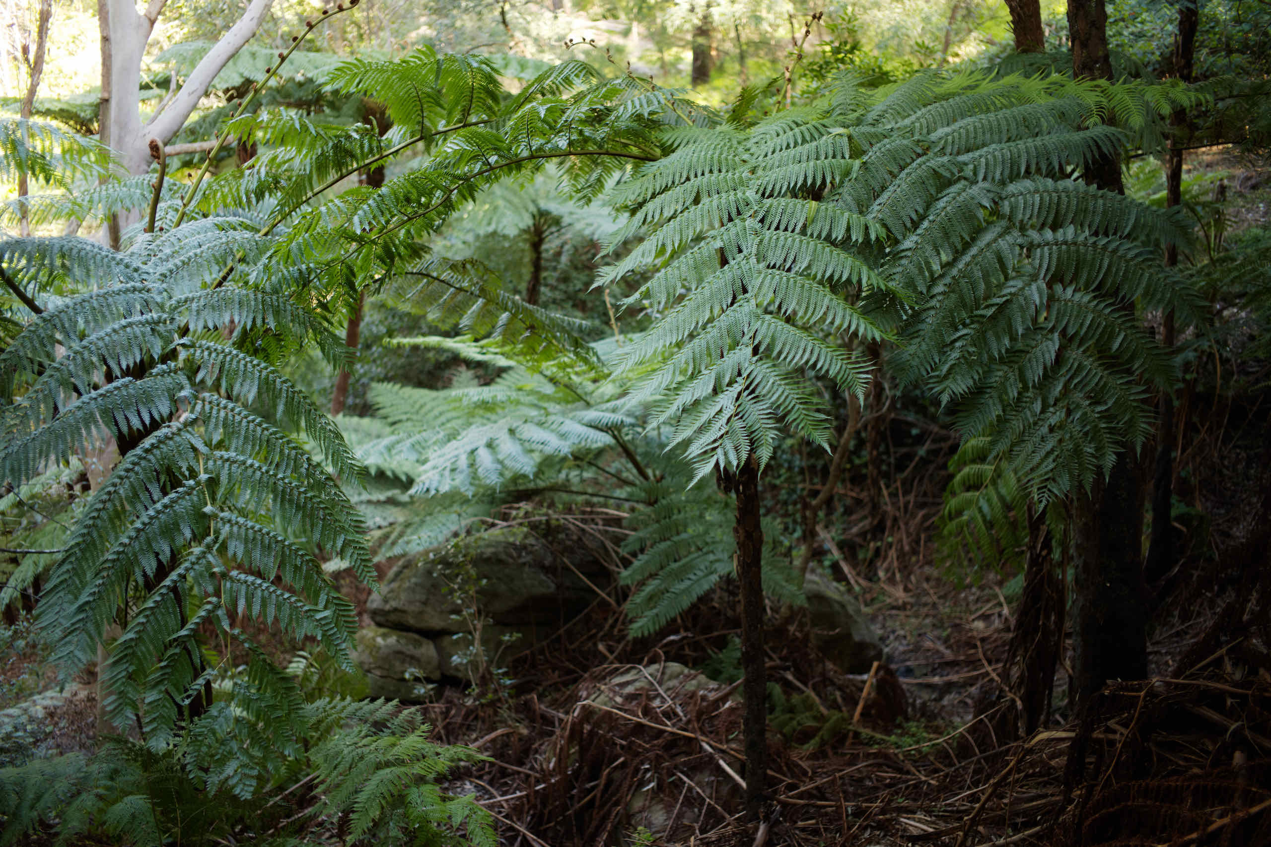
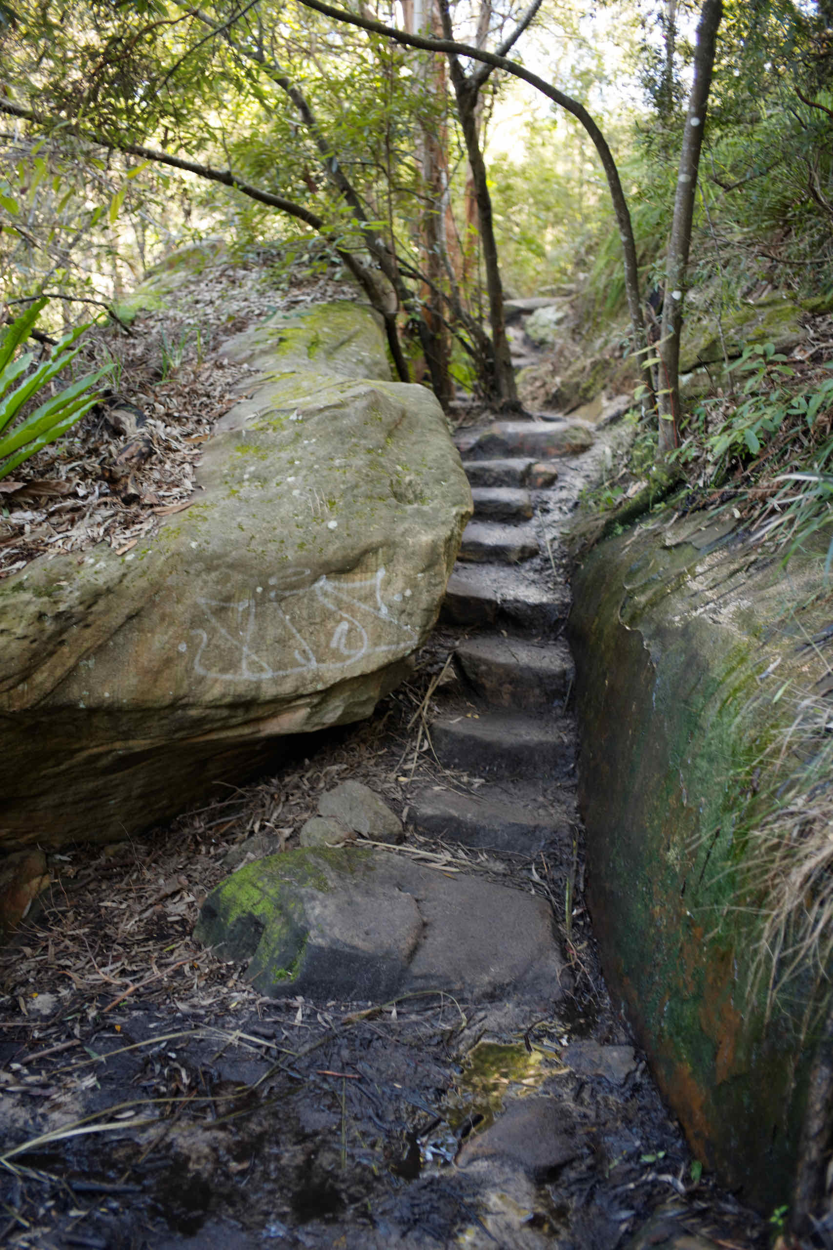
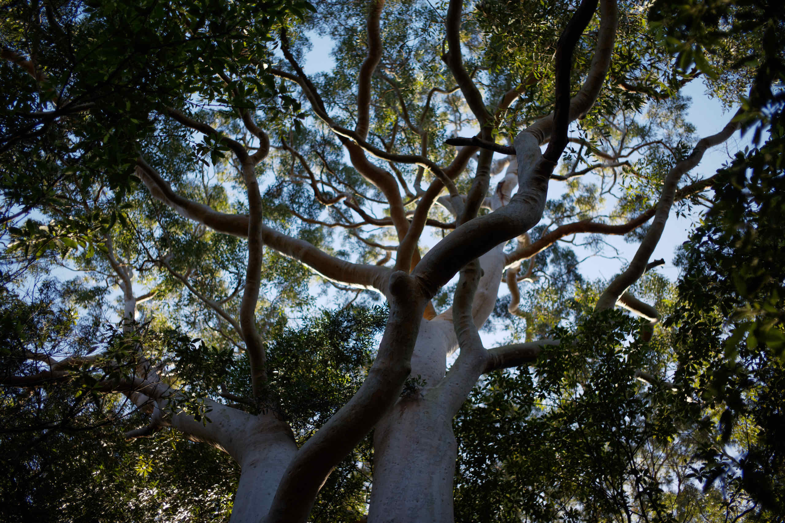
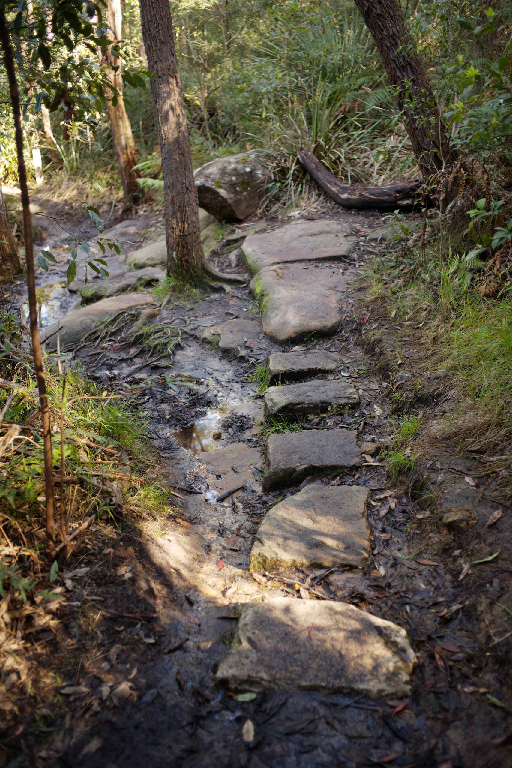
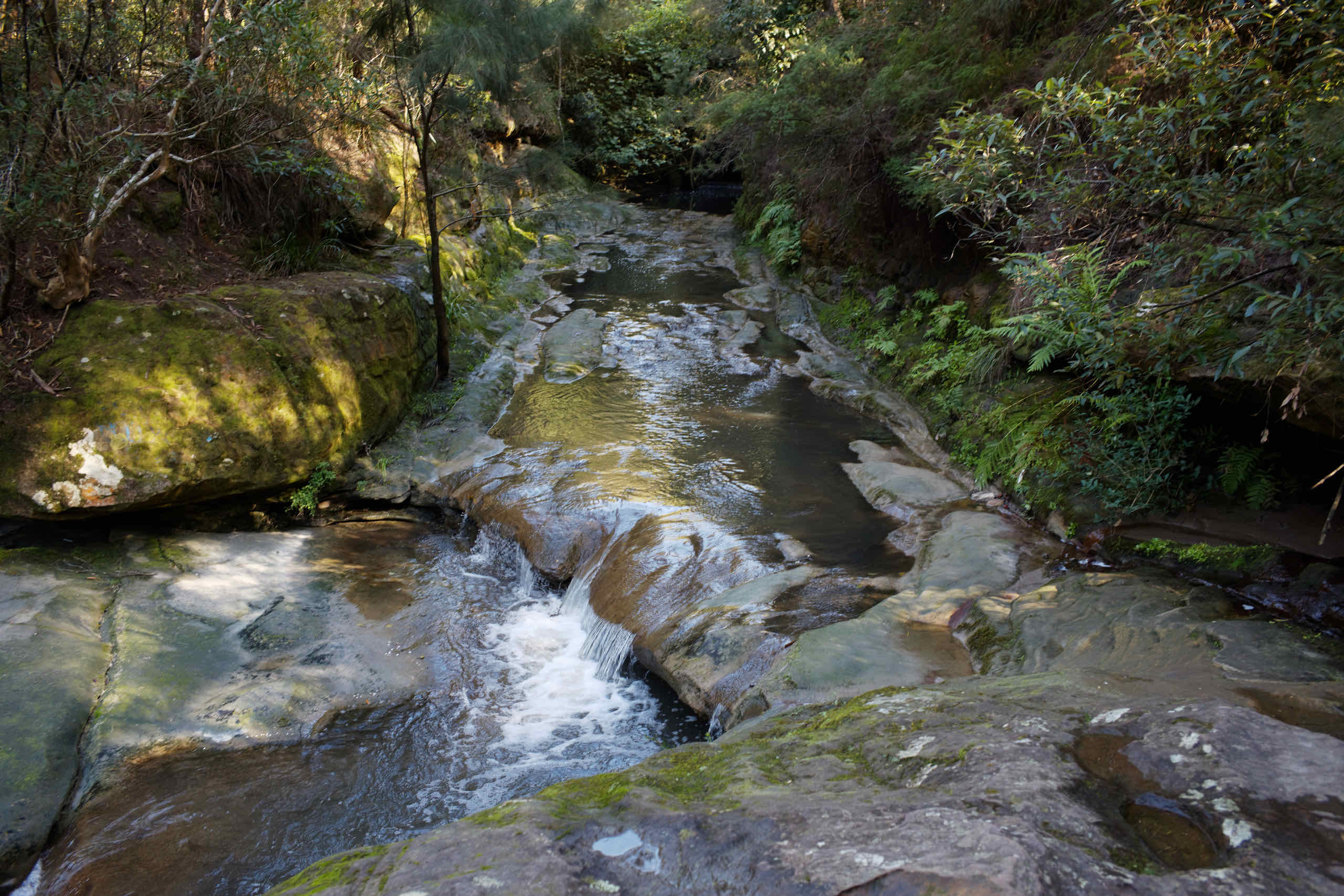
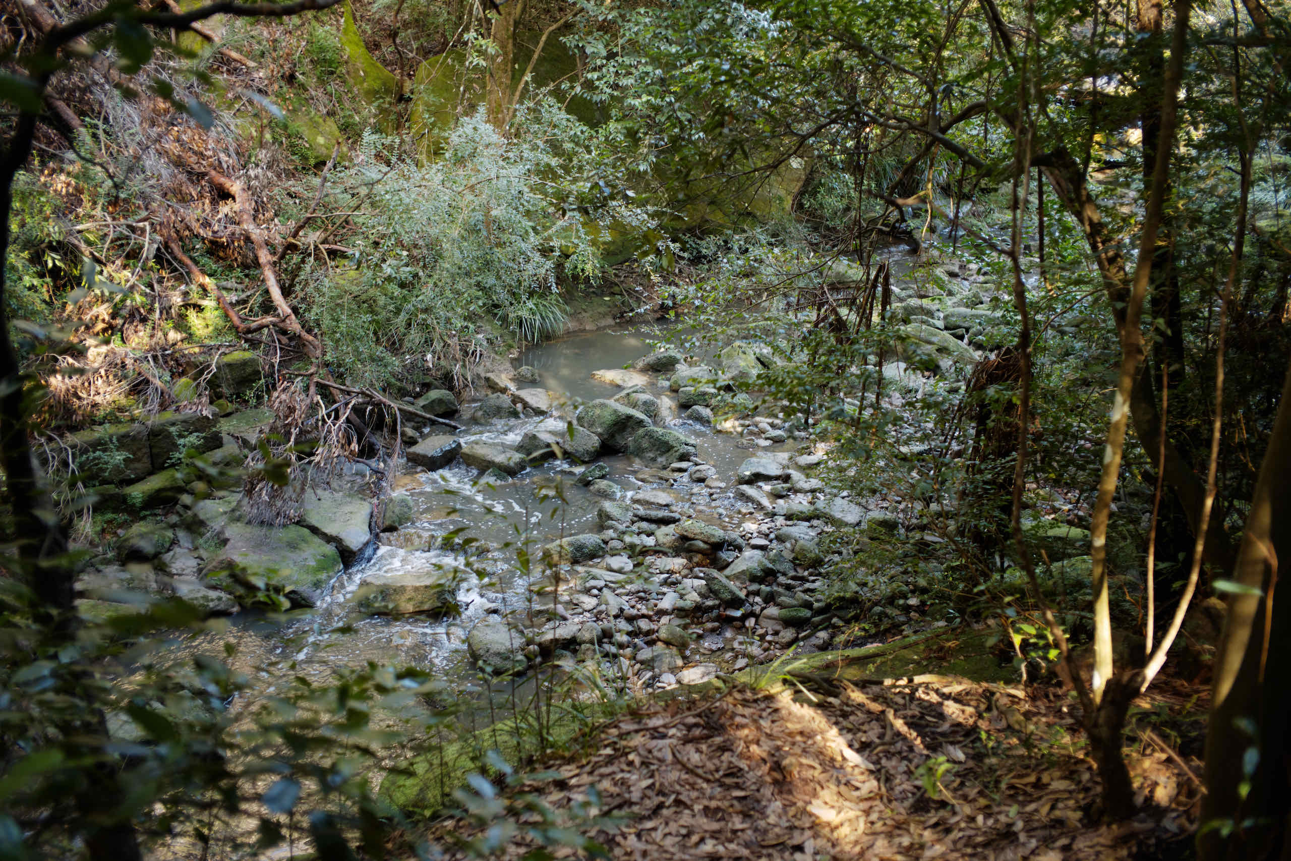
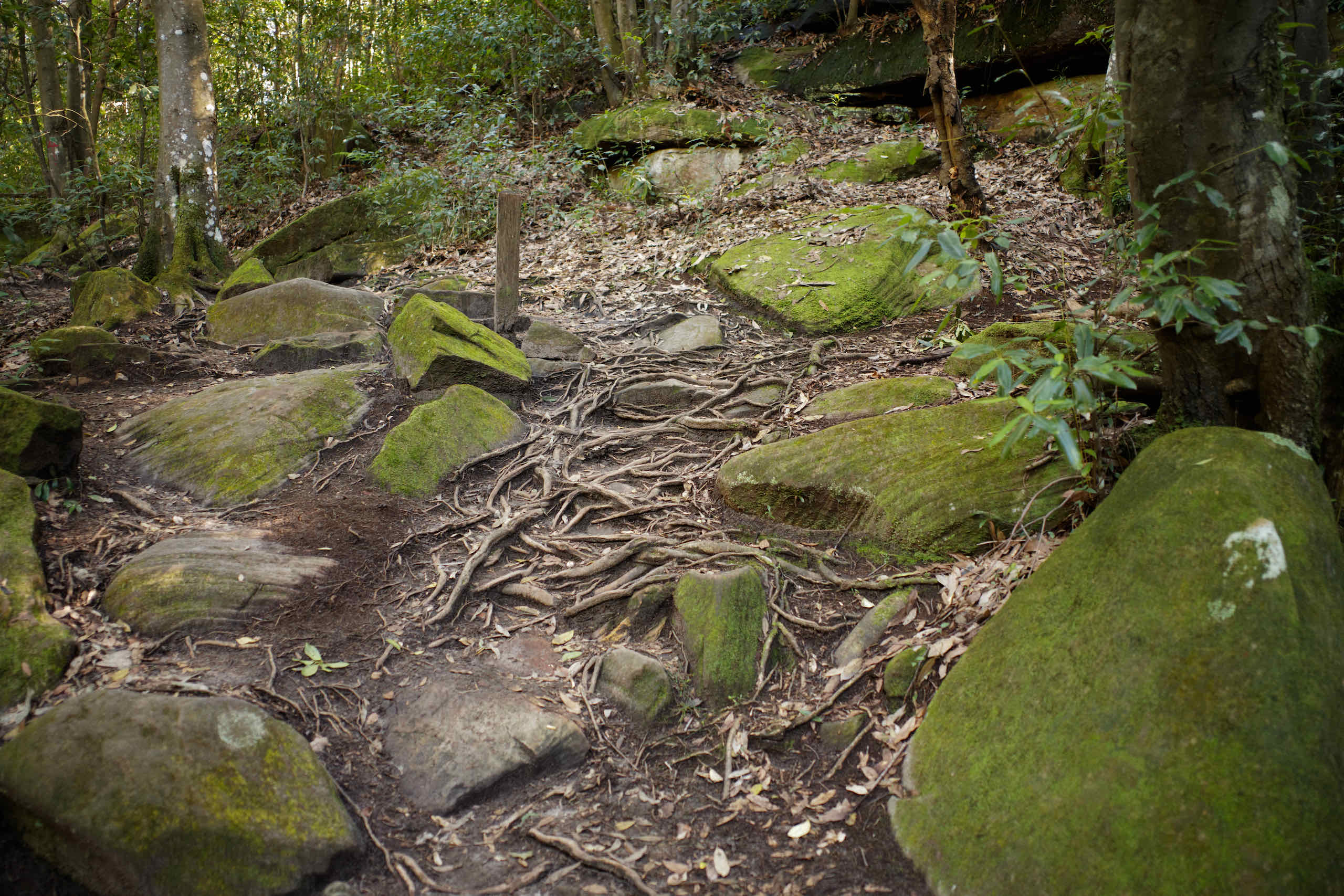
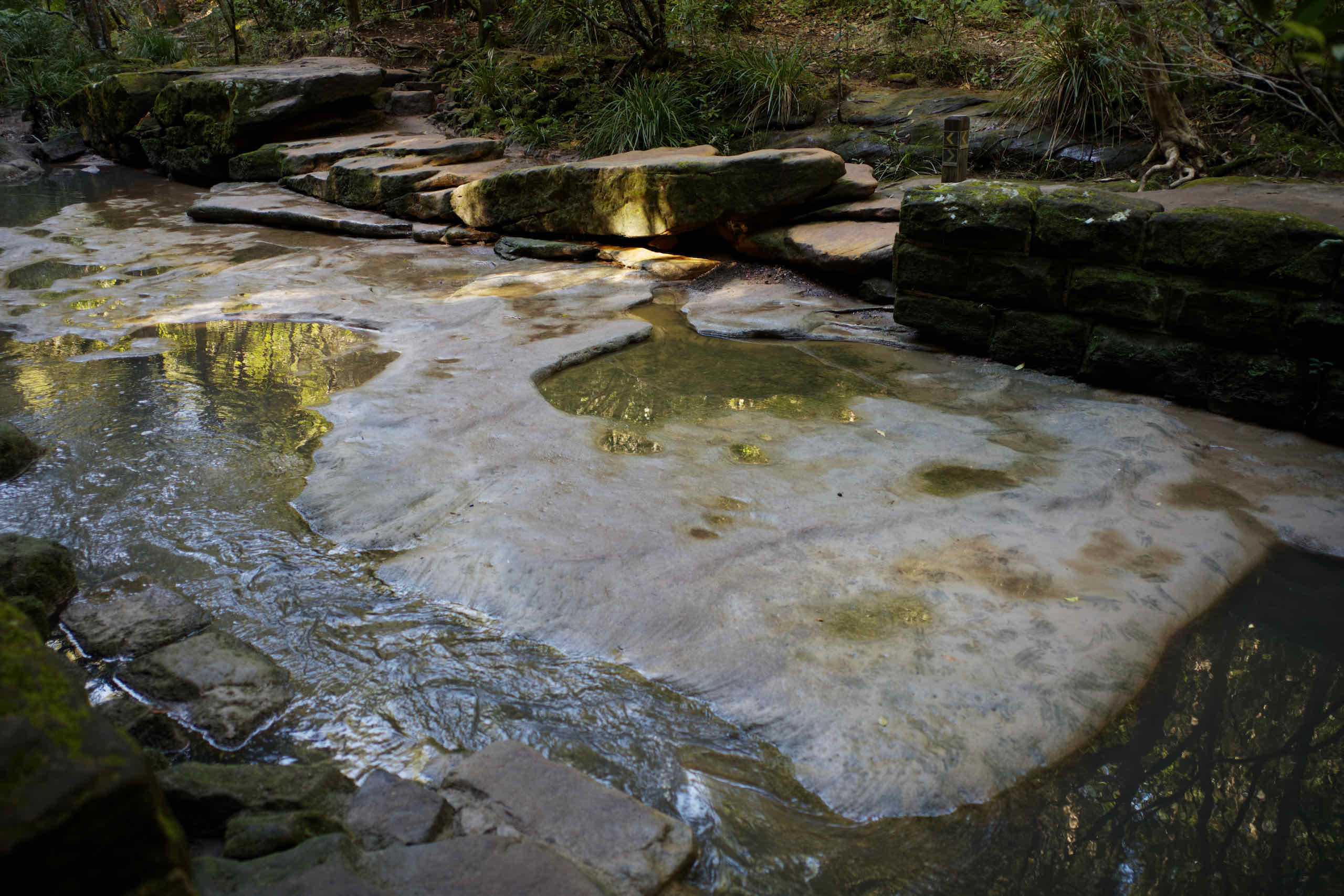
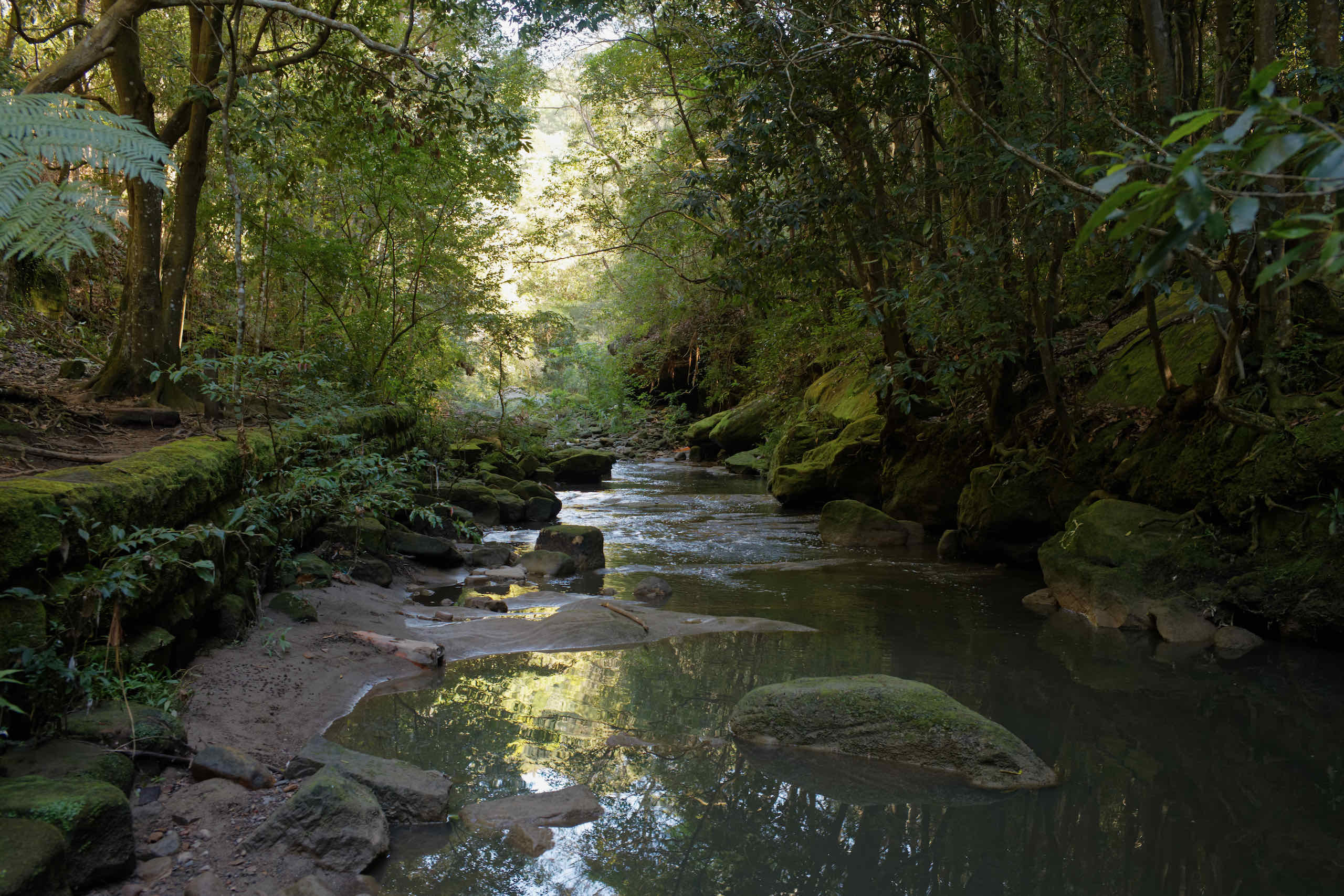
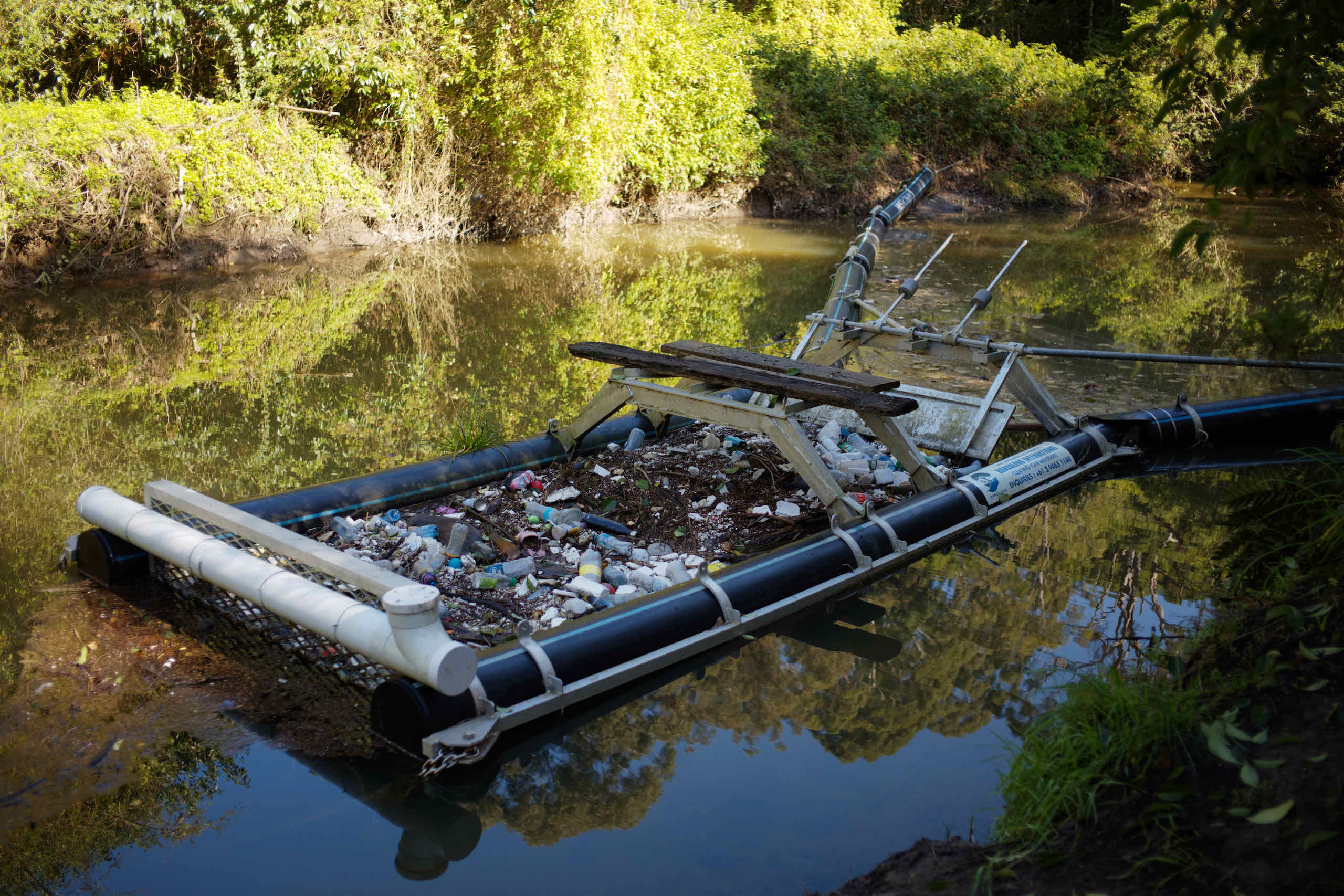
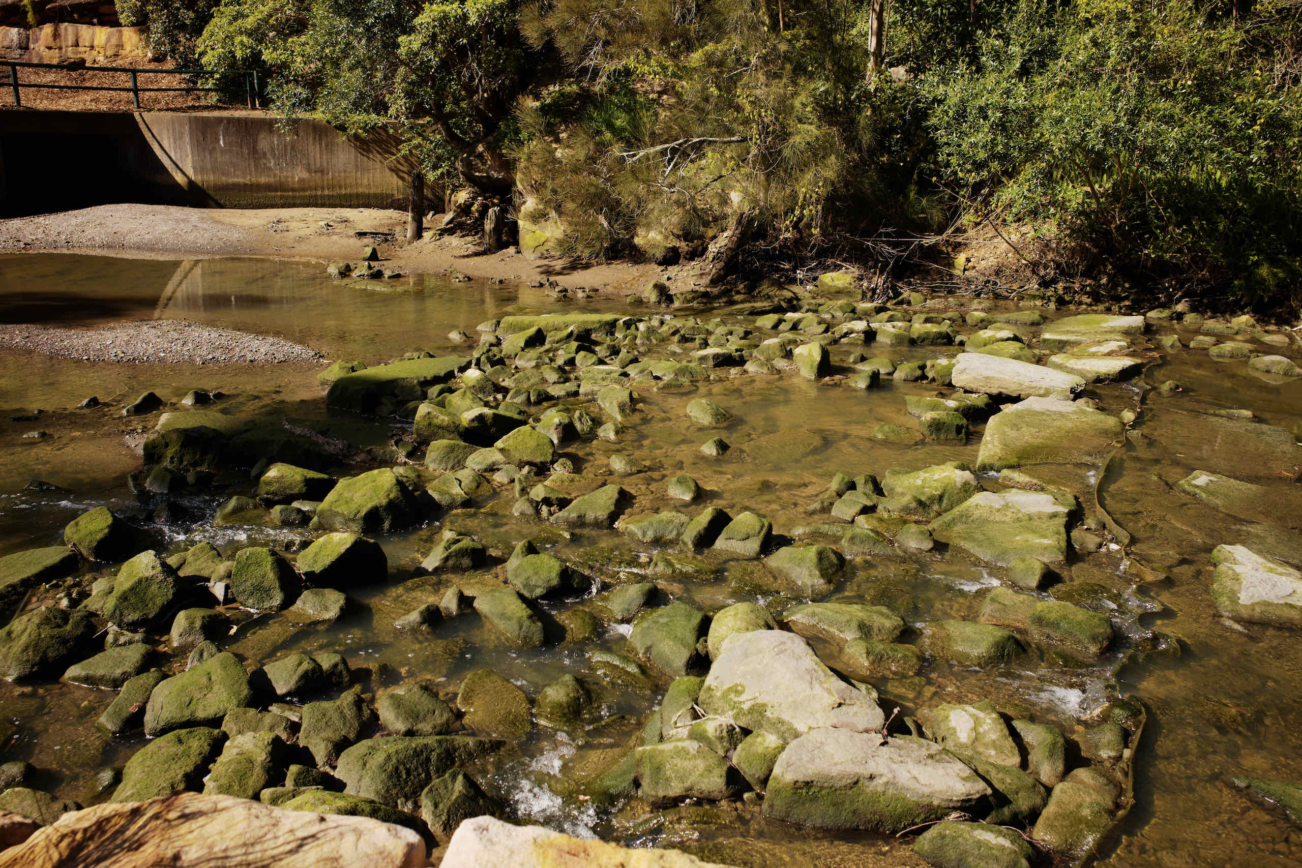
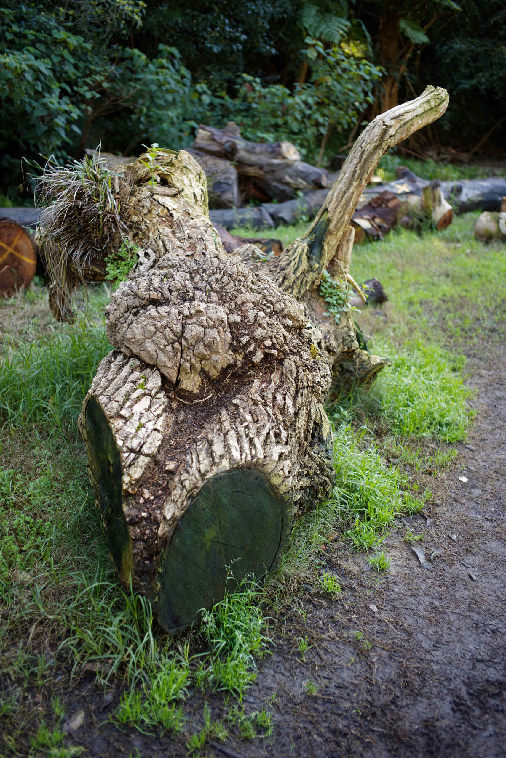
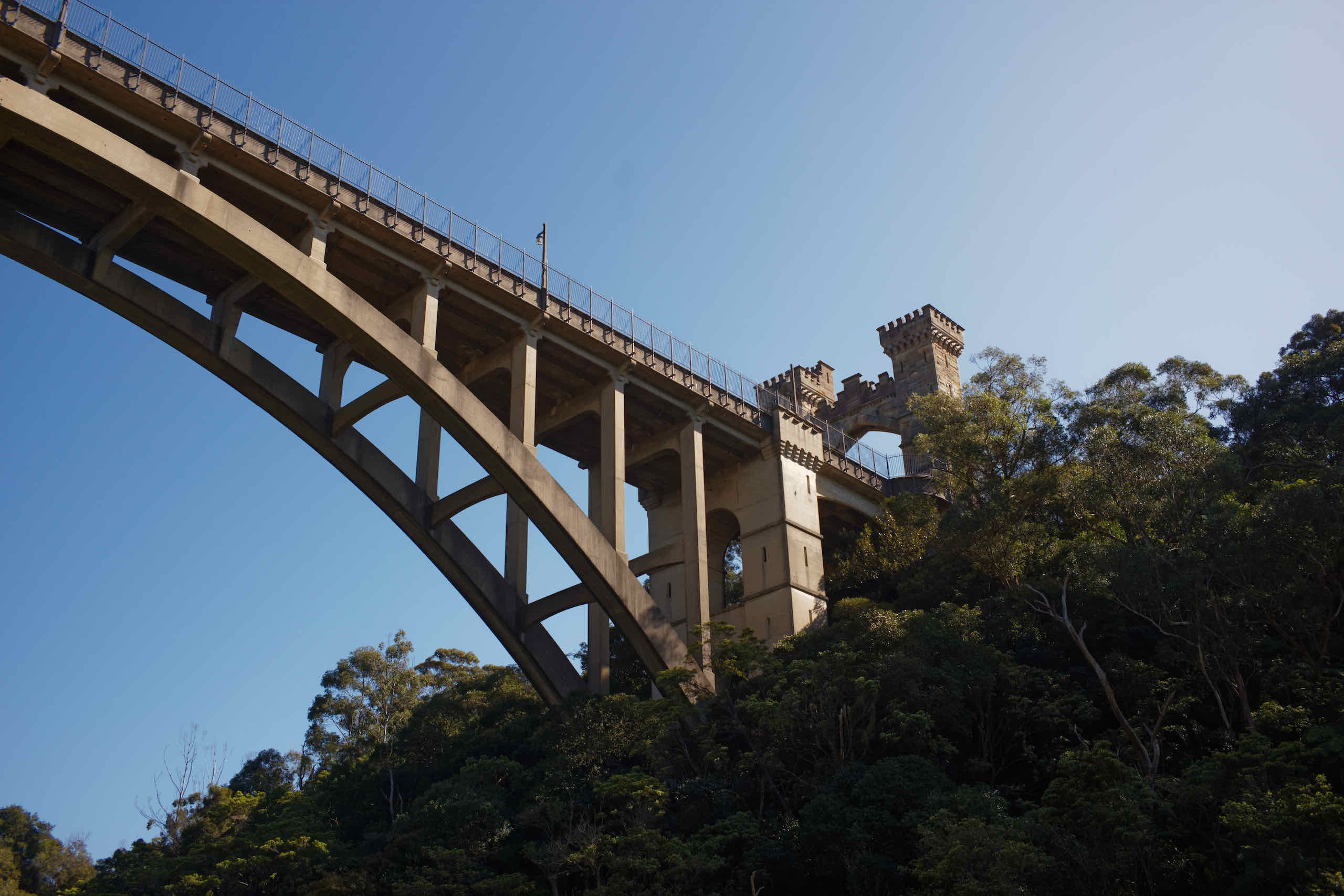
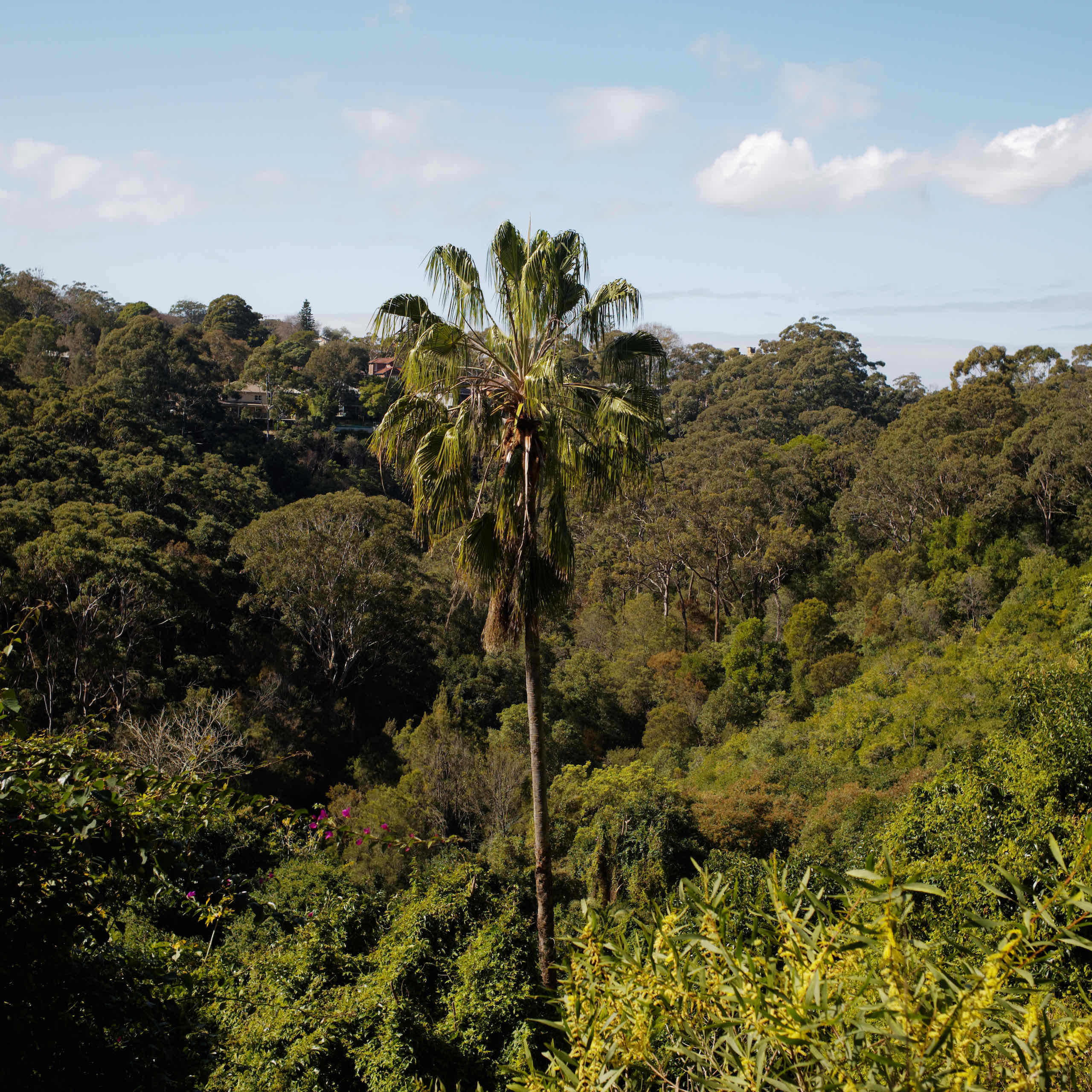
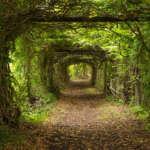
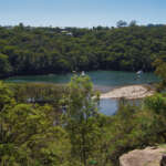
Flat Rock Gully
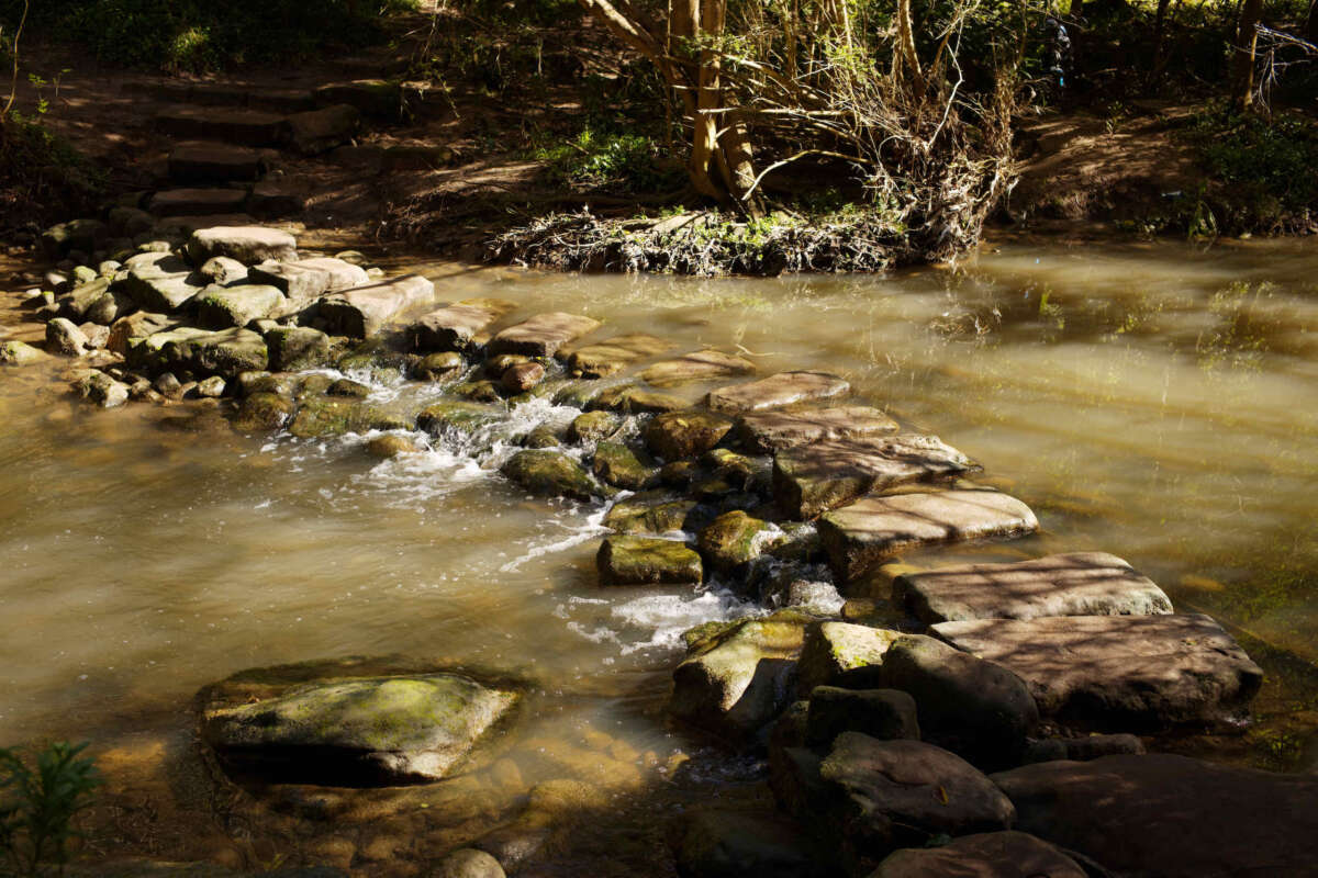
Covering approximately 10 hectares Flat Rock Gully is rich in both natural and cultural heritage. The name originates from the large flat rock where the creek was crossed (now hidden under Flat Rock Bridge, Willoughby Road).
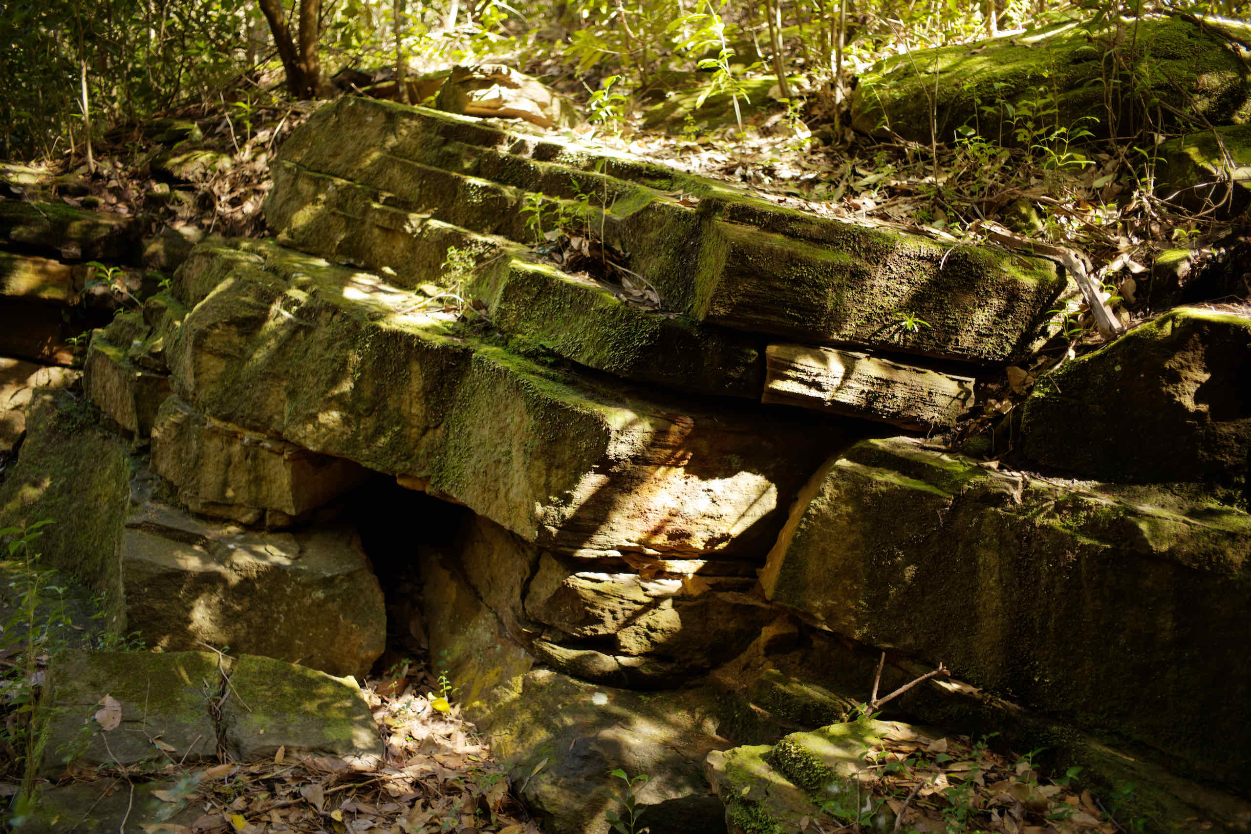
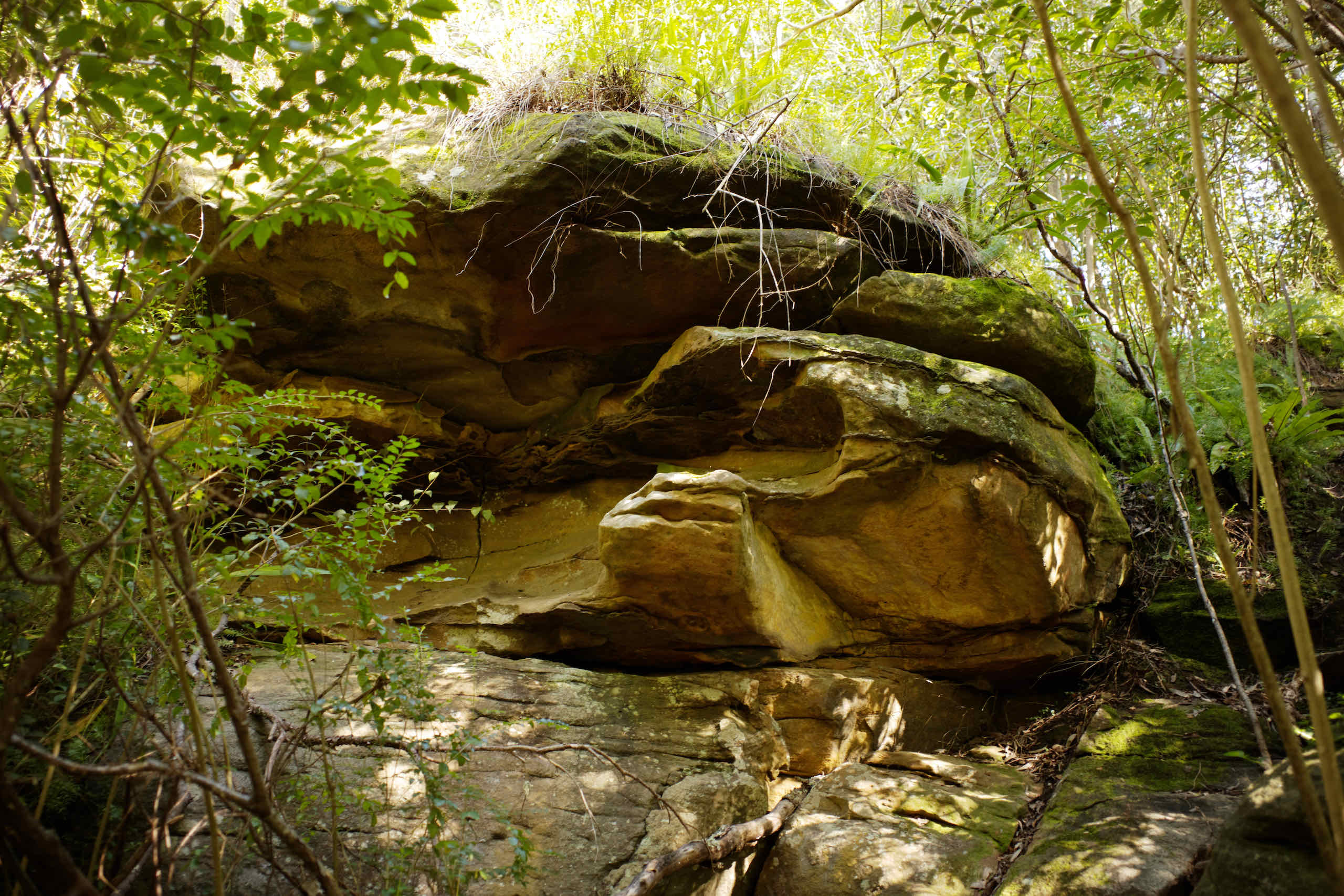
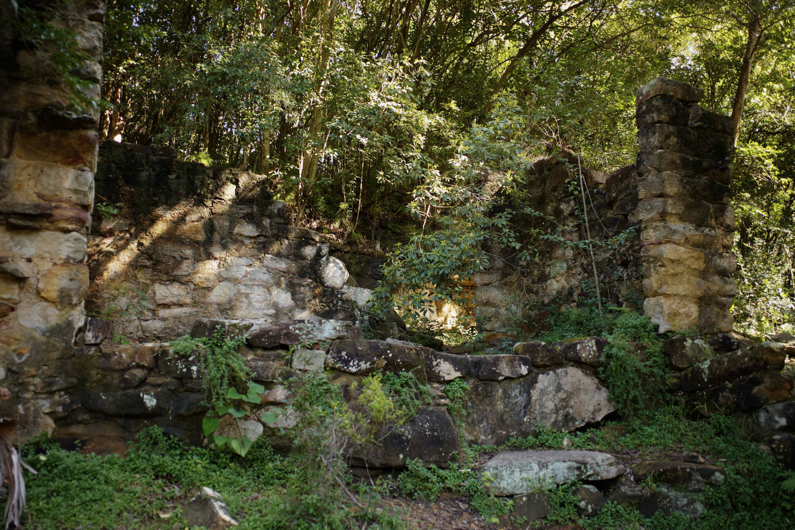
We started on Wilksch’s Walk, named in honour of local resident Eric Wilksch for his efforts in lobbying Council to retain bushland in Flat Rock Gully. This takes us to Tunk’s Park and Cammeray Bridge. On the way back, we walked along Dawson Creek Track and visited Fatty Dawson Ruins, which are the remains of a sandstone house and garden. Mr Dawson ran a piggery above the house site in the 1870s. Stories say, the pig carcasses were rolled down the hill into the creek and that after rain sharks would circle in Long Bay.

Related Articles in this Series
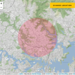
Series: Exploring our 5km bubble
This is a series of articles on images captured within a 5 km radius from our house in Sydney, Australia. On 2 August 2020, a state of disaster was declared in Victoria due to the significant rise in COVID19 cases, and stage 4 restrictions were imposed on metropolitan Melbourne. As part of these restrictions, during …
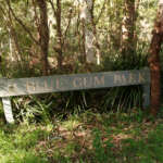
Blue Gum Reserve
This is the closest walking track to our house, a mere block away in Chatswood West.
Down the Street
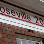
This is a quick walk down the street to the industrial area close to Roseville Chase.
Harold Reid Reserve
The Harold Reid reserve consists of a sandstone hill called The Sugarloaf located on a headland, sandwiched between Crag Cove and Castle Cove and facing into Sugarloaf Bay and then onto Middle Harbour.